 Lowest price
Guides
Language
EnglishCurrency
US dollar · $GetYourGuide converts to the currency you select here.
Guide · History
What is the Strait of Magellan, and why did sailors fear it?
The Strait of Magellan is the sea passage that cuts through the tip of South America, with Punta Arenas on its shore. Here is how it was found, who tried to settle it, and what makes it hard to sail.
Check availabilityfrom $365 · no cancellation fee
Editorial team, puntaarenaswhalewatching.comUpdated October 22, 20267 min read42 sources
Quick answer
A passage between the oceans
Chile's maritime authority describes the Strait of Magellan as the most important natural passage between the Pacific and the Atlantic, and every part of it lies within Chile, in the Magallanes and Chilean Antarctica region.1 It runs for 330 nautical miles, from its eastern entrance to its western access at the Islotes Evangelistas.2
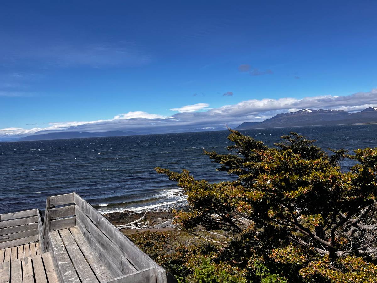
The strait is not a straight canal but a chain of bays, narrows and channels between the mainland and Tierra del Fuego. Punta Arenas sits on its shore, and the water you look at from the waterfront is the same route that ships still take between the two oceans. On a clear day the far shore looks close enough to touch, yet the crossing to it takes hours by ferry.
Under the treaties between Chile and Argentina of 1881 and 1984, ships of all nations may enter and leave the strait's eastern mouth at any time.7 It remains an international seaway in practice, even though its whole length is Chilean. Freighters, cruise ships and fishing boats still pass the city, and watching them from the waterfront is a pastime of its own.
The strait in history
From Magellan to Punta Arenas
-
October 1520
Magellan arrives
His ships reach the eastern mouth on 21 October.3
-
November 1520
Through to the Pacific
The way out is found on 27 November.8
-
1584
Rey Don Felipe
Sarmiento de Gamboa founds the settlement.9
-
1587
Port Famine
Cavendish finds it abandoned and names it.10
-
1843
Fuerte Bulnes
Inaugurated on 30 October 1843.11
-
1848
Punta Arenas
The city is founded.12
How Magellan found the way through
The strait carries the name of Ferdinand Magellan, whose expedition was searching for a western route to the Spice Islands. Chile's national library records that his ships reached the eastern mouth of the strait on 21 October 1520, and that the whole fleet began sailing through it on 1 November, naming it Todos los Santos.3 The national monuments council gives 25 October 1520 for the discovery.13
The passage was long and confusing. On 27 November 1520 the expedition finally found the way out to the Pacific, which the Spanish then called the Mar del Sur.8 It took the fleet most of that month to work its way through the maze of channels and islands.
You can stand on a full-scale replica of the ship that made the crossing. The Museo Nao Victoria, 7 km north of Punta Arenas, is an open-air museum of historic ship replicas, among them the ship Magellan used on his expedition.14 It is the easiest way to grasp how small those vessels were. Walking the decks of the replicas makes the courage of those crews easy to imagine.
Strait tours
Half-day trips to the forts compared
| Tour | Hours | Group | Rating | From |
|---|---|---|---|---|
| Fort Bulnes history tour | 4.5 | Up to 10 | 4.68 | from $46 |
| Fort and strait tour | 5 | Shared, pickup | 4.23 | from $65 |
| Strait park and Port Famine | 5 | Up to 8 | 5.00 | from $75 |
| Lighthouse trek | 8 | Shared, pickup | 4.86 | from $65 |
Hours, group sizes and ratings as each listing states them; prices are GetYourGuide starting fares and depend on the date you choose.
Three ways to the forts
Which strait tour suits you?
Lowest price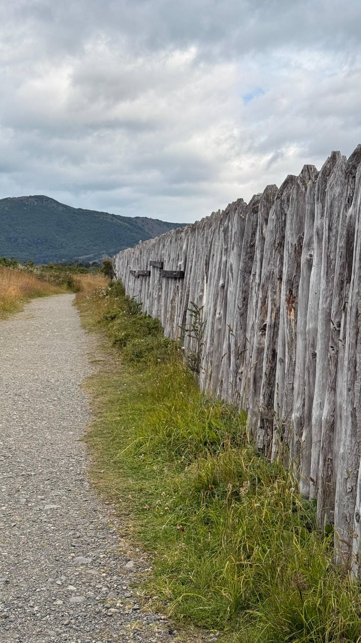 Pickup included
 Smallest group
Decision helper
Which way to see the strait?
Pick what interests you most
The oceanic route of Drake Passage normally is affected by bad weather, where winds of more than 60 Knots, and waves of 10 to 12 meters height are very common.
Port Famine: a settlement that failed
Spain tried to hold the strait, and the attempt ended in disaster. On 5 February 1584 Pedro Sarmiento de Gamboa landed with 300 men and founded the fort Nombre de Jesús, and on 25 March he founded Rey Don Felipe on the east coast of today's Brunswick Peninsula.9
Supplies never came in time. By about 1587 both settlements were in such a state of abandonment and death that the English privateer Thomas Cavendish named Rey Don Felipe Port Famine, or Puerto del Hambre.10 The name stuck, and it is still on the map today. Standing at the site today, among wind-bent trees and grass, it is easy to see how isolated the settlers were.
The ruins lie inside the Parque del Estrecho de Magallanes, which holds both Rey Don Felipe and Fuerte Bulnes, the first two Western attempts to settle the strait, almost 300 years apart.17 Walking between them is a quick lesson in how hard this coast was for the people who came to stay. Allow time for the visitor center, which sets the story in context before you walk the coast.
Map
From Punta Arenas to the whales, the penguins and beyond
The strait south of the city to Cabo Froward and Isla Carlos III, the penguin islands and Tierra del Fuego, and the wider south from Torres del Paine to Ushuaia.
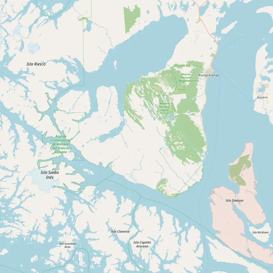 1Punta Arenas2Fuerte Bulnes3San Isidro lighthouse4Cabo Froward5Isla Carlos III
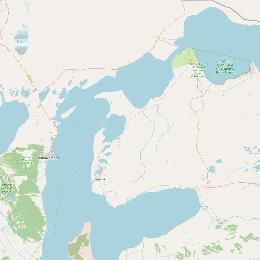 1Punta Arenas6Isla Magdalena7Isla Marta8Porvenir9Parque Pingüino Rey10Primera Angostura
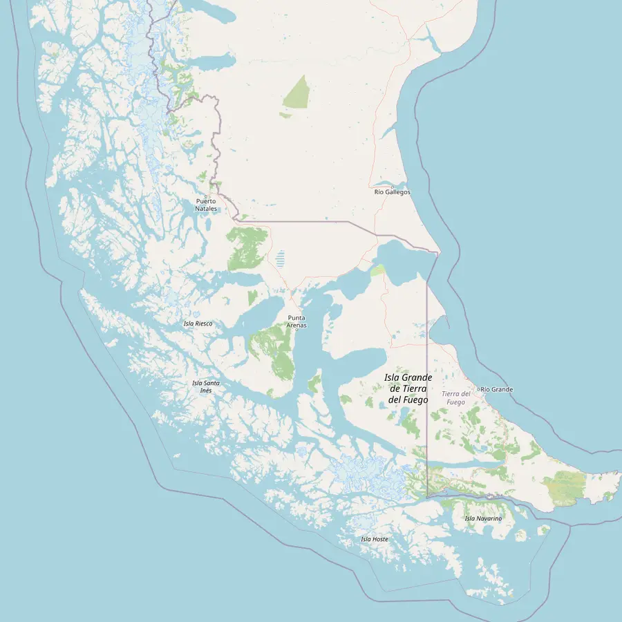 11Punta Arenas airport12Puerto Natales13Torres del Paine14Ushuaia
- 1Punta Arenas
Capital of the Magallanes region, founded in 1848.1812
In Google Maps ↗ - 2Fuerte Bulnes
Inaugurated in 1843; a national Historic Monument 58 km south of the city.116
In Google Maps ↗ - 3San Isidro lighthouse
70 km south of Punta Arenas and more than 100 years old.19
In Google Maps ↗ - 4Cabo Froward
Where the American continental landmass ends; the whale boat passes it for 30 minutes.20
In Google Maps ↗ - 5Isla Carlos III
Humpback presence around the island peaks from December to March.21
In Google Maps ↗ - 6Isla Magdalena
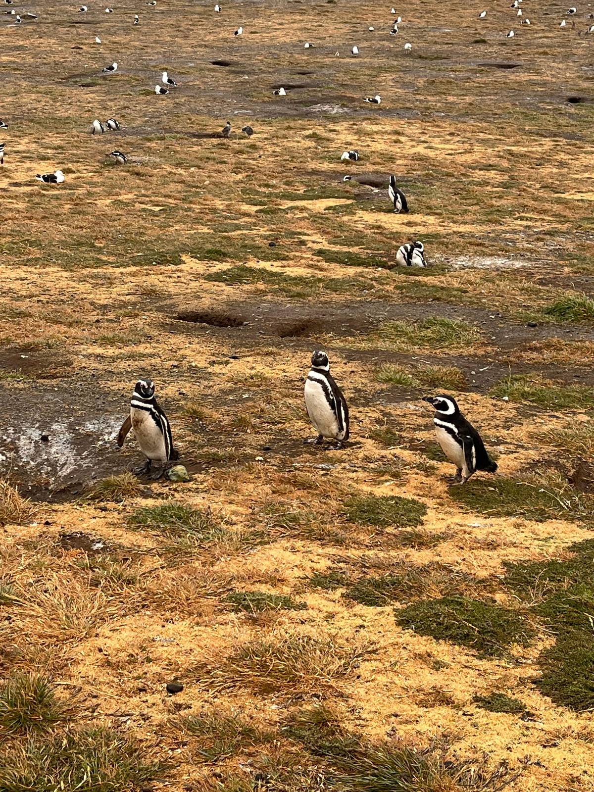
About 7,000 pairs of Magellanic penguins nest here, 35 km northeast of the city.2223
In Google Maps ↗ - 7Isla Marta
Sea lions and imperial cormorants; landing is prohibited.2425
In Google Maps ↗ - 8Porvenir
About 2 hours by ferry from Punta Arenas.26
In Google Maps ↗ - 9Parque Pingüino Rey
King penguins at Bahía Inútil, 115 km from Porvenir.27
In Google Maps ↗ - 10Primera Angostura
The 20-minute ferry crossing to Tierra del Fuego.28
In Google Maps ↗ - 11Punta Arenas airport
20 km north of the city, with daily flights from Santiago.29
In Google Maps ↗ - 12Puerto Natales
About 250 km north of Punta Arenas by paved road.30
In Google Maps ↗ - 13Torres del Paine
National park since 1959, 112 km from Puerto Natales to the Sarmiento entrance.3132
In Google Maps ↗ - 14Ushuaia
293 km beyond the San Sebastián border.33
In Google Maps ↗
Checklist
A day by the strait
01
Bring
- Warm clothing and a rain jacket
- Money for the fort's entrance fee
- Shoes for uneven ground
02
Know
- Check the park's opening hours
- Wheelchairs reach the visitor center, not every path
- No pets on the fort tours
Cost calculator
What a strait tour costs your group
Starting totals for each tour, by group size.
People
Total from$92
per guest from $46
Check availabilityfree cancellationTotals multiply each trip's lowest GetYourGuide starting fare by your party size and convert it at the European Central Bank rate; your date and option fix the real amount at checkout.
Video
Edge of the World: Strait of Magellan, Drake Passage & Beagle Channel
The video stays switched off until you hit play.
Fuerte Bulnes near Punta Arenas
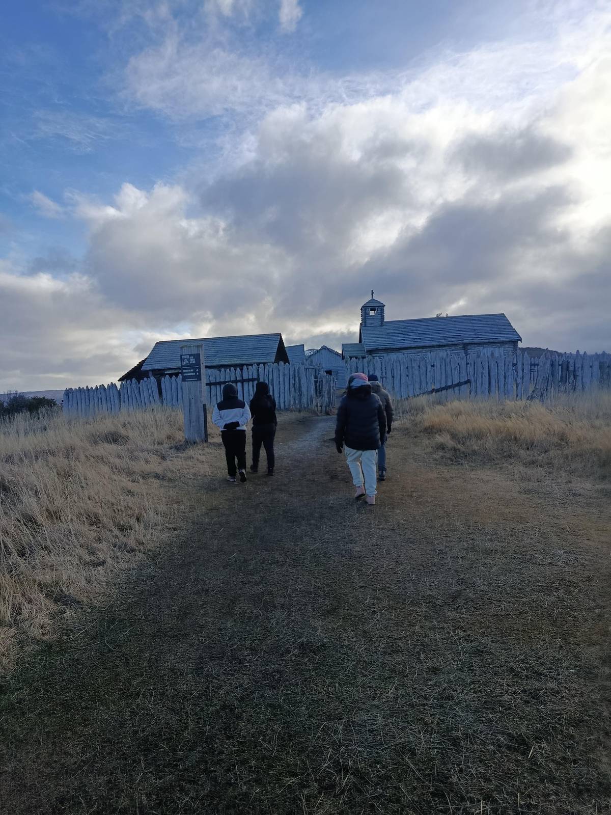
The Chilean story on the strait starts at Fuerte Bulnes near Punta Arenas. After a four-month voyage, the schooner Ancud's expedition landed at Punta Santa Ana on 21 September 1843, and on 30 October 1843 Juan Williams inaugurated the fort there, named after the president.11 The fort and the whole Punta Santa Ana peninsula are a national Historic Monument, 58 km south of Punta Arenas.6
Chile Travel gives the distance as 52 km and lists the church, the jail and the chaplain's room among what visitors can see.34 The Parque del Estrecho around it covers 250 hectares of coast, where seabirds and sea lions can be seen and, with luck, whales and dolphins.35 It opens every day from 10:00, with last entry at 17:30 and closing at 19:00.36 Wooden palisades and rebuilt buildings give a clear sense of how small the garrison was.
Punta Arenas itself followed in 1848, which Chile's national library calls the first act of Chilean sovereignty in a distant territory of great geopolitical and economic value.12 A half-day trip to the fort is the simplest way to see where it all began.
Why is the Strait of Magellan dangerous?
Why is the Strait of Magellan dangerous for ships? Chile's navy pilotage notes describe the typical wind in the western zone as short, extraordinarily strong gusts known as squalls or williwaws.4 Gusts like these can arrive suddenly and leave just as fast.
The water moves fast as well. Currents are strongest in the two narrows and Paso Inglés; in the First Narrows they run from 2 knots up to 8 knots at spring tides.5 The tidal range peaks at Punta Delgada, in the First Narrows, where differences of up to 8 meters have been observed.37
There are also things it does not have. The navy notes that there are no icebergs or other ice in the strait and that its waters never freeze.38 For a day visitor on a modern boat, the hazards are mostly wind, chop and cold, and crews watch the forecast closely and sometimes change the route. If a crossing feels rough, remember that the crew deals with these waters every day.
Why is the Strait of Magellan important?
Why is the Strait of Magellan important even today? It saves ships a long, rough detour. Sailing through the strait is 390 nautical miles shorter than going round through the Drake Passage, about 42 hours less at 9 knots.15 The Drake route is normally affected by bad weather, with winds over 60 knots and waves of 10 to 12 meters very common.16
Its importance to Punta Arenas changed with world trade. The city's commerce began to decline in the 1910s, after the opening of the Panama Canal and the creation of a Chilean customs house in the city.39 The strait remained a working seaway all the same. Grand mansions around the main square still recall the wealth of the earlier years.
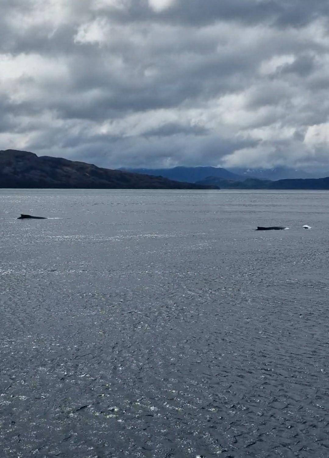
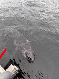
For wildlife the strait matters more than ever. Its western part holds the only feeding site of the humpback whale outside Antarctic waters, according to the decree that created the Francisco Coloane protected area in 2003.4041 The booked whale tour sails the strait past Cabo Froward to reach it.
Seeing the strait for yourself
The easiest view is free: the waterfront of Punta Arenas looks straight across the water toward Tierra del Fuego. For a closer look, the half-day fort tours drive south along the coast to Fuerte Bulnes and Puerto del Hambre, and one listing adds a stop at the Hito de la Mitad de Chile on the way. Late afternoon light on the water is especially beautiful, and the waterfront path makes an easy evening walk.
Further south along the coast stands Faro San Isidro, a lighthouse 70 km from Punta Arenas that is more than 100 years old.19 Beyond it lies Cabo Froward, which Chile's environmental assessment service describes as the southernmost place on the American continent, where the continental landmass ends.20 A metal cross, the Cruz de los Mares, stands on its summit, built for the 1987 visit of Pope John Paul II.42
Seen from the deck of the whale boat, Cabo Froward is a dark headland under a big sky. The booked tour sails past it for 30 minutes on its way to the marine park. It is a fitting landmark: the end of a continent, on the route that first joined two oceans. Bring a camera with a zoom, because headlands, birds and passing ships all look better close up.
Pick your date
A day with the humpbacks of the strait
Meals, the navigation and a bilingual guide included; cancel for free up to a day before.


You ask,we answer.
How long is the Strait of Magellan?
330 nautical miles. From its eastern entrance to the Islotes Evangelistas.2
Who discovered it?
Ferdinand Magellan's expedition. The fleet began sailing through on 1 November 1520.3
Which country owns the strait?
Chile. Its whole length lies within Chile.1
How far is Fuerte Bulnes from the city?
About 52 to 58 km. Sources give 58 km and 52 km south of Punta Arenas.634
Why is it called Port Famine?
Because the settlers starved. Cavendish named Rey Don Felipe Port Famine around 1587.10
Does the strait freeze?
No. The navy notes no ice and waters that never freeze.38
Is it shorter than the Drake Passage?
Yes. By 390 nautical miles for a ship passing through.15
Sources
What this text is based on
- 1DIRECTEMAR (Dirección General del Territorio Marítimo y de Marina Mercante, Armada de Chile)Strait of Magellan, Chilean Channels and Fiords - Regulations and information for piloting↩
- 2DIRECTEMAR (Dirección General del Territorio Marítimo y de Marina Mercante, Armada de Chile)Strait of Magellan, Chilean Channels and Fiords - Regulations and information for piloting↩
- 3Memoria Chilena, Biblioteca Nacional de ChileNavegantes europeos en el estrecho de Magallanes↩
- 4DIRECTEMAR (Dirección General del Territorio Marítimo y de Marina Mercante, Armada de Chile)Strait of Magellan, Chilean Channels and Fiords - Regulations and information for piloting↩
- 5DIRECTEMAR (Dirección General del Territorio Marítimo y de Marina Mercante, Armada de Chile)Strait of Magellan, Chilean Channels and Fiords - Regulations and information for piloting↩
- 6Consejo de Monumentos Nacionales de ChileFuerte Bulnes y toda la península denominada Punta Santa Ana↩
- 7DIRECTEMAR (Dirección General del Territorio Marítimo y de Marina Mercante, Armada de Chile)Strait of Magellan, Chilean Channels and Fiords - Regulations and information for piloting↩
- 8Memoria Chilena, Biblioteca Nacional de ChileHernando de Magallanes (1480-1521)↩
- 9Memoria Chilena, Biblioteca Nacional de ChilePedro Sarmiento de Gamboa↩
- 10Memoria Chilena, Biblioteca Nacional de ChilePedro Sarmiento de Gamboa↩
- 11Memoria Chilena, Biblioteca Nacional de ChileEl fuerte Bulnes↩
- 12Memoria Chilena, Biblioteca Nacional de ChilePunta Arenas y la economía magallánica (1848-1950)↩
- 13Consejo de Monumentos Nacionales de ChileHernando de Magallanes (monumento público)↩
- 14Chile Travel (Sernatur)Guía de viaje al Monumento Natural Los Pingüinos (itinerario)↩
- 15DIRECTEMAR (Dirección General del Territorio Marítimo y de Marina Mercante, Armada de Chile)Strait of Magellan, Chilean Channels and Fiords - Regulations and information for piloting↩
- 16DIRECTEMAR (Dirección General del Territorio Marítimo y de Marina Mercante, Armada de Chile)Strait of Magellan, Chilean Channels and Fiords - Regulations and information for piloting↩
- 17Parque del Estrecho de MagallanesParque del Estrecho de Magallanes - Fuerte Bulnes↩
- 18Chile Travel (Sernatur)Cementerio de Punta Arenas, uno de los más bellos de Chile↩
- 19Chile Travel (Sernatur)Faro San Isidro, una travesía luminosa en el fin del mundo↩
- 20Servicio de Evaluación Ambiental (SEA), Gobierno de ChileSEA Magallanes y Comité Técnico realizan taller en el lugar más austral del continente, Cabo Froward↩
- 21IUCN Marine Mammal Protected Areas Task ForceWestern Magellan Strait IMMA↩
- 22↩
- 23↩
- 24↩
- 25↩
- 26Chile Travel (Sernatur)Porvenir↩
- 27Chile Travel (Sernatur)King Penguin Natural Reserve↩
- 28Chile Travel (Sernatur)Guide for a trip to the home of the King Penguin↩
- 29Chile Travel (Sernatur)Historia y cultura en Punta Arenas (itinerario)↩
- 30↩
- 31↩
- 32Chile Travel (Sernatur)Cómo llegar desde Santiago a las Torres del Paine↩
- 33Secretaría de Turismo, Municipalidad de UshuaiaCómo llegar - Turismo Ushuaia↩
- 34Chile Travel (Sernatur)Historia y cultura en Punta Arenas (itinerario)↩
- 35Parque del Estrecho de MagallanesParque del Estrecho de Magallanes - Fuerte Bulnes↩
- 36Parque del Estrecho de MagallanesParque del Estrecho de Magallanes - Fuerte Bulnes↩
- 37DIRECTEMAR (Dirección General del Territorio Marítimo y de Marina Mercante, Armada de Chile)Strait of Magellan, Chilean Channels and Fiords - Regulations and information for piloting↩
- 38DIRECTEMAR (Dirección General del Territorio Marítimo y de Marina Mercante, Armada de Chile)Strait of Magellan, Chilean Channels and Fiords - Regulations and information for piloting↩
- 39Memoria Chilena, Biblioteca Nacional de ChilePunta Arenas y la economía magallánica (1848-1950)↩
- 40Biblioteca del Congreso Nacional de Chile (LeyChile)Decreto 276 - Declara Area Marina y Costera Protegida Francisco Coloane↩
- 41Biblioteca del Congreso Nacional de Chile (LeyChile)Decreto 276 - Declara Area Marina y Costera Protegida Francisco Coloane↩
- 42Servicio de Evaluación Ambiental (SEA), Gobierno de ChileSEA Magallanes y Comité Técnico realizan taller en el lugar más austral del continente, Cabo Froward↩
Keep reading